By Isabelle Aubrun, CCCL Intern (Brown University)
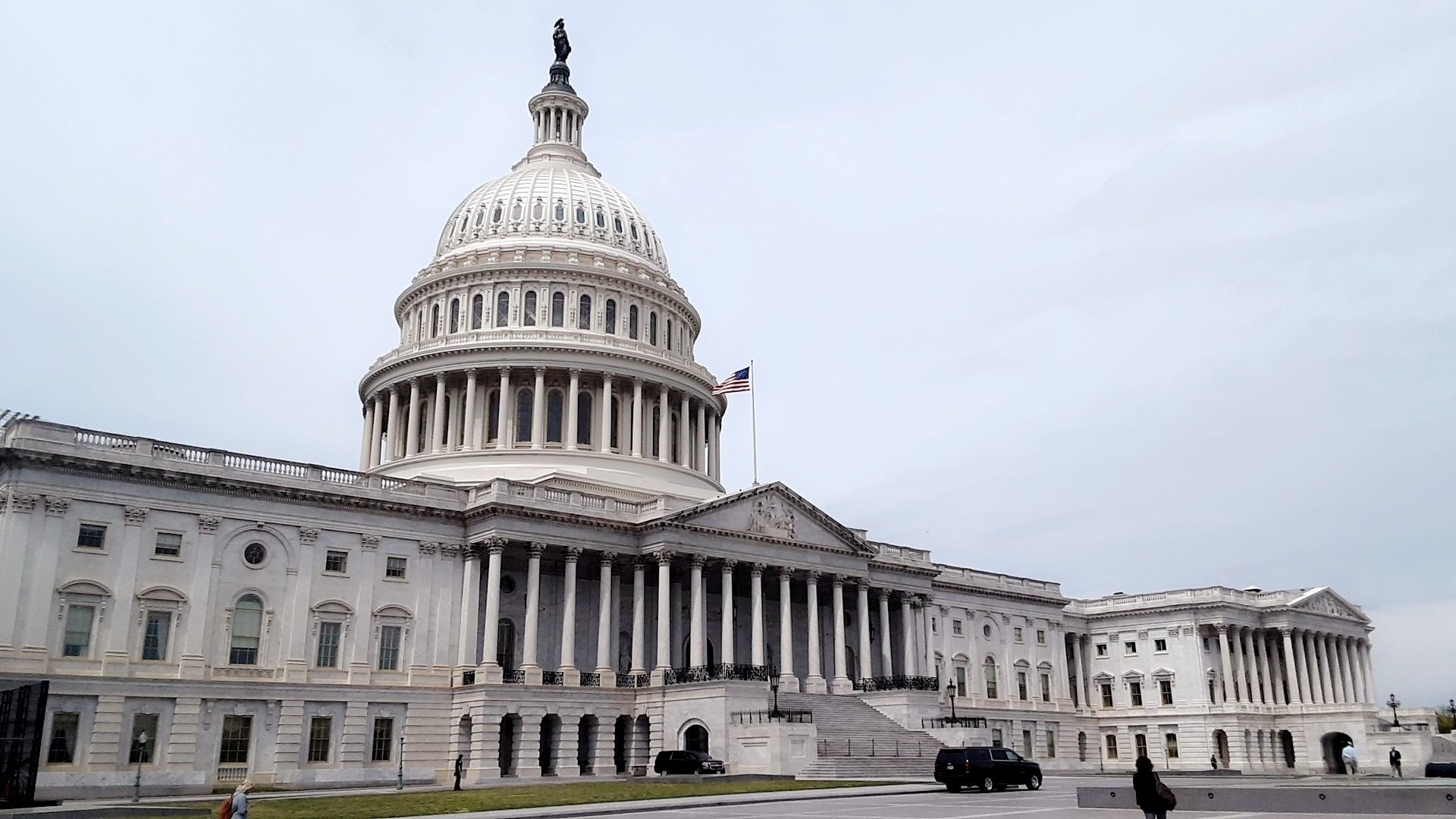
 In 2013, President Obama’s Hurricane Sandy Rebuilding Task Force devised the Rebuild by Design Competition. Applicants were to design a “fundable and implementable” infrastructure project to mitigate the dangers of rising sea levels and increasingly frequent extreme weather events in New York and New Jersey coastal regions. In early June 2014, the United States Department of Housing and Development (HUD) announced the six winners.[1] The most ambitious of the project winners is the “BIG U,” which would circle around 10 continuous miles of Lower Manhattan shoreline, using a mix of natural and physical infrastructure to protect the city’s most vulnerable stretch of coast. HUD Phase 1 funding for the project will be $335 million, the largest Rebuild by Design award. The Lower East Side section of the BIG U promises integrated flood protection and upgraded “social infrastructure,” such as parks and walkways, for an area that suffered extensive damage from Sandy.
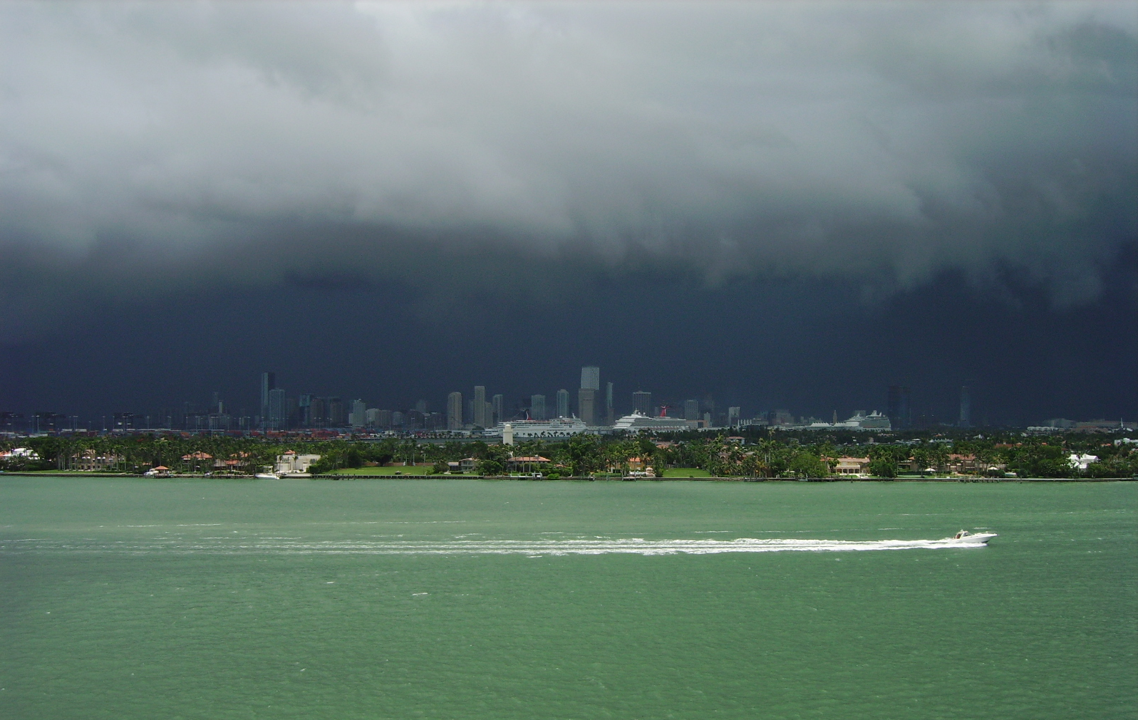
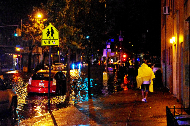
On October 29, 2012, waters from Sandy surged into Lower Manhattan, upsetting vital city infrastructure. South of 34th Street, the City experienced an extended power outage; schools were closed for many days; mail delivery was interrupted; hospitals were compromised; and roads, tunnels and telecommunications facilities were damaged. According to the City’s 2013 A Stronger, More Resilient New York Report, Lower Manhattan is particularly vulnerable to future threats of rising sea level and severe weather. Since 1609, much of Lower Manhattan’s coastline has been built on landfill extended into the harbor. This low-lying, landfill-based coast has made the area particularly vulnerable to the sort of severe flooding it suffered during Sandy.[2]
Fifty-eight percent of all residential units affected by Sandy in Manhattan were on the Lower East Side. Those neighborhoods are more densely packed than the citywide average, and have the city’s largest concentration of low- and moderate-income residents, many residing in the approximately 9,000 New York City Housing Authority (NYCHA) public housing units in the area.
In A Stronger, More Resilient New York, the City analyzed the damage and presented a sketch of how to fortify New York against future disaster. In 2013, the BIG Team – comprised of design firms from around the world and led by Jeremy Siegel of the Bjarke-Ingels Group – picked up where the Stronger, More Resilient New York report left off.
The BIG Team sought to aid the City in planning for future resiliency while also accommodating future growth.[3] And more practically, the team had to consider how best to protect residents from flooding without walling communities off from the East River. Siegel’s team used the Stronger, More Resilient New York report as a roadmap for its project, consulting it for known vulnerabilities and suggested protections. Although many called for a giant floodgate at Manhattan’s harbor in Sandy’s aftermath, the SIRR report found that targeted, small-scale solutions would be more feasible and offer more robust protection.[4] According to City officials, the BIG U will be part of a larger effort to fortify New York City against future severe weather and sea level rise.
The Big U is only one project that has been proposed to protect the southern part of Manhattan from future sea level rise and other climate-related events. Much larger and more ambitious is “Seaport City,” since re-named the “Southern Manhattan Multi-Purpose Levee.” It is a long-term project devised by former Mayor Bloomberg’s administration – a development built on landfill that would shield inland neighborhoods from flooding, raised 19 feet high and extending 500 feet into the East River. In May 2014, the engineering firm ARCADIS conducted a feasibility study at the recommendation of the Stronger, More Resilient New York Report, concluding the project was technically, legally and financially feasible, and would accomplish the stated goals of long-term flood protection. The Multi-Purpose Levee, to be built south of the Lower East Side section of the BIG U, would mix commercial and residential development with flood protection.[5]
Because the BIG U fleshes out a vision already expressed by the City’s leadership and strengthened through the input of Lower East Side community members, it was a logical choice for the HUD award. The first expenditures from the $335 million will go towards further planning for the stretch of the BIG U that runs from East 23 Street down to Montgomery Street, which lies in between the Manhattan and Williamsburg Bridges along the East River; the need for further funding for implementation is anticipated. This land is largely controlled by the New York City Parks Department and New York City Department of Transportation, which should facilitate the implementation and permitting process. Siegel says this section of the BIG U will have the most ‘bang for the buck,’ because it aims to protect such a densely packed area.
The BIG U is described as being a composite, comprised of “separate but coordinated” protective elements. “The Bridging Berm” part of the project will create vertical protection from anticipated storm surge and rising sea levels. Laura Starr, who formerly worked as the chief landscape architect for Central Park, proposed that the shore in the Lower East Side section of the BIG U be redesigned to have a more ‘Olmsteadian’ dynamic – a hilly, natural-looking landscape composed of diverse, salt-resistant vegetation to act as natural barriers. This would create green space, waterfront access, and bike paths along the East River Park for community-members’ enjoyment.
The other key feature of this section of the BIG U will be its deployable flood protection walls. Attached to the elevated FDR Drive, these releasable walls can be flipped down in the event of a storm to prevent storm surge from rushing inland. AEA Consulting, a New York City-based cultural consulting firm, proposed engaging local artists to decorate the panels’ undersides – they can serve as a colorful overhang for the walkway under the FDR when raised, and unique siding for an indoor space or market when lowered in wintertime. The larger proposed “U” is likewise comprised of many distinct flood protection strategies, with segments that wind around Manhattan’s lower half to create flood protection, a strengthened coastal landscape for public enjoyment, and a well-protected downtown Manhattan to allow for future growth. Further images of the preliminary design are available here (make hyperlink https://www.rebuildbydesign.org/project/big-team-final-proposal/)
In order to maximize the benefits of the project, the BIG Team collaborated both with New York City officials and community-members. Lilah Mejia is Disaster Relief Coordinator for Good Old Lower East Side (GOLES), a neighborhood housing and preservation organization. In December 2013, the BIG Team approached Mejia in the hopes of working with her and Lower East Side (LES) Ready, a coalition of community groups that formed following Sandy to coordinate disaster preparedness, and to solicit community members’ input on the project. Residents expressed the desire for upgraded parks and, when consulted on the level of flood protection, insisted they didn’t want to be walled off from the coast. There is hope in the community that a percentage of construction jobs for the project will go to local residents, although the details of such an arrangement are a long way off.
So what comes next? According to various designers on the BIG Team, many of whom continue to work on a plan for the first section of the BIG U, the project’s timeline going forward isn’t quite clear. Mayor de Blasio and Governor Cuomo, who were both present when HUD announced HUD’s Phase 1 funding in June, have said that they want tangible results within three to four years. HUD is expected to publish an announcement in the Federal Register that will designate New York City as the grantee of the $335 million and outline the conditions for funding. The City will then devise an action plan, submit it for a period of public comment, make adjustments, expect to receive final HUD approval for the actual project designs, and begin construction sustained by further funding. Those closely involved with the project – both the designers and the City representatives – acknowledge that the implementation of the Lower East Side compartment of the BIG U will necessarily be a dynamic process.
Currently, the BIG U uses sea level rise projections for 2050 and a 100-year storm frequency for mixed use and residential neighborhoods as the agreed-upon degree of acceptable risk. This level of stringency was determined by the City following Sandy, and refined in conversation with the Lower East Side communities that will benefit from defensive infrastructure. There is not universal agreement, however, on whether that standard is sufficiently protective. Klaus Jacob, a member of the Rebuild by Design Research Advisory Board, expressed concern in his recent Next City Op-Ed that current protective levels aren’t stringent enough and will need to be updated too soon after they are built to make the project cost effective.[6] Some City officials nevertheless say they are confident that the BIG U’s Lower East Side compartment is being designed to be adaptable in the future and maintains that it has taken a very long-term view of the project – as New York City’s vulnerabilities evolve, so too will its protective measures.
[1] Patrick Rodenbush, “HUD Announces Winning Proposals From the ‘Rebuild by Design’ Competition.’ US Department of Housing and Urban Development. [Press Release]. June 2, 214.
https://portal.hud.gov/hudportal/HUD?src=/press/press_releases_media_advisories/2014/HUDNo_14-063
[2] The City of New York, “A Stronger, More Resilient New York.” 11 June 2013. https://www.nyc.gov/html/sirr/html/report/report.shtml
[3] Bjarke-Ingels Group, “The BIG U Project Data – Rebuild by Design.” [Press Release]. 21 March 2014. https://big.dk/press/hud_224
[4] “A Stronger, More Resilient New York.”
[5] ARCADIS, “Southern Manhattan Coastal Protection Study: Evaluating the Feasibility of a Multi-Purpose Levee,” New York City Economic Development Corporation, available at https://www.nycedc.com/sites/default/files/filemanager/Projects/Seaport_City/Southern_Manhattan_Coastal_Protection_Study_-_Evaluating_the_Feasibility_of_a_Multi-Purpose_Levee.pdf
[6] Klaus Jacob. “Climate Scientist: Manhattan Will Need ‘Venice-Like Canals’ to Stop Flooding.” Next City. 25 June 2014. https://nextcity.org/daily/entry/climate-scientist-manhattan-needs-venice-like-canals-flooding